Jade Dragon Snow Mountain

Jade Dragon Snow Mountain 玉龙雪山
The dominant feature of the Lijiang Valley, is actually a massif (range) of which the highest peak reaches 18,360 ft.
Although easily seen from all corners of the city of Lijiang, I had no idea how massive it really was until we hired a driver to take us to it. From Lijiang you see the southern end, not realizing it is a long chain of limestone peaks that extends nearly 15 miles north. The high peak has only been climbed once, by Americans in 1987. It hasn’t been climbed by locals, because… well it is sacred.
At the southern food of the mountain is Jade Water Village, a small Dongba settlement, and shrine to the mountain, now modernized for tourism. I didn’t get a chance to visit the village, but read that it has a beautiful series of dams and man-made waterfalls.
To the north-west is Tiger Leaping Gorge, the deepest gorge in the world (depending on your definition), and has been marked as creating some of the most scenic water-based scenery in the east. A trip for future years, perhaps.
Also known as Mount Satseto or Yu Long Mountain Click to enlarge
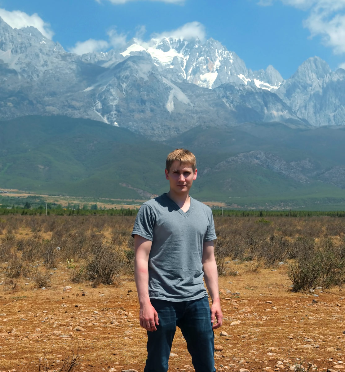
Here’s a terrible picture of me in front of the mountain we are headed to.

We are at ‘base camp’ where our driver takes off. Here people pay admission, get information, register for trails, and pee. This is actually a structure built to resemble the high peak.

The Dongba-styled architecture at the base camp.

A calligrapher sells scrolls.

How does one get up the mountain? Steps.. steps… steps… steps.. and more steps. Old steps, new steps. Some of the way, there’s a gondola. It takes about 8 hours in total.

Of in the distance, the trails look completely vertical.


You can always hop on the wire carts (assuming they are working) and get over the really tough climbs. It is exhausting getting up here. There are benches everywhere. There are oxygen tanks lying everywhere. There are people wearing huge red safety coats, and there are guys with their shirts off. It’s cold. It’s hot. It’s dark. it’s super bright. Things are constantly changing. I keep worrying about my clothes– if they will be enough at the top. Should we have bought oxygen.?How’s our water doing? At this point we are far from the wire carts. But there are plenty of people around, mostly sitting and resting. Breathing here is tough. Everything is up-hill and anything other than sitting is pretty tiring.

Then near where the snow settles… the government built this fancy platform for people to not slip and fall on their asses all the time. It wasn’t quite finished, but it’s a great break from the snow and mud. To the right, a glacier.
 Click to enlarge

Here’s the view from that platform near the glacier. It’s in the afternoon now. That’s Lijiang to the right.
 Click to enlarge

Looking back Click to enlarge
Me getting my hair bleached by the UV
A panorama looking back at the platform as we reach the end.
 Click to enlarge
Vertical panoramic…

Look at this amazing new platform they are building… but not quite ready for people to use. We continue on through the snow.

How big are the tips of the peaks? Here are some people for scale. How cold it is up there? Well, if you are in the sun, it’s too hot… take off as much as you can. A lot of the guys went topless to beat the heat (and to look cool in photos). In the shade, put on the safety coat (people on the right are wearing them).

A first-aid/safety hut
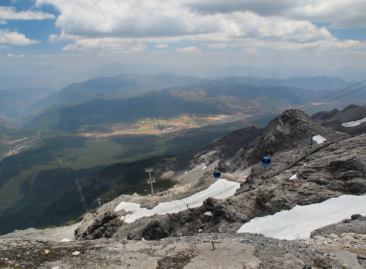
Looking back down at the gondola station.
Looking across the glacier. This mountain is limestone, which is pretty soft. Glaciers cut through it like geologic butter.


Taking photos with my phone like a real photographer


This is how high we eventually got before we had to turn back.

Here is a skewed view of the glacier, from its edge, following it down.


We didn’t make it down until hours after our scheduled meet with the driver. He was pissed. A long awkward drive back to the village to spend the last hours we have in town, and then catch a very late night flight back to Chengdu.
 Click to enlarge

 Click to enlarge
Write a Reply or Comment